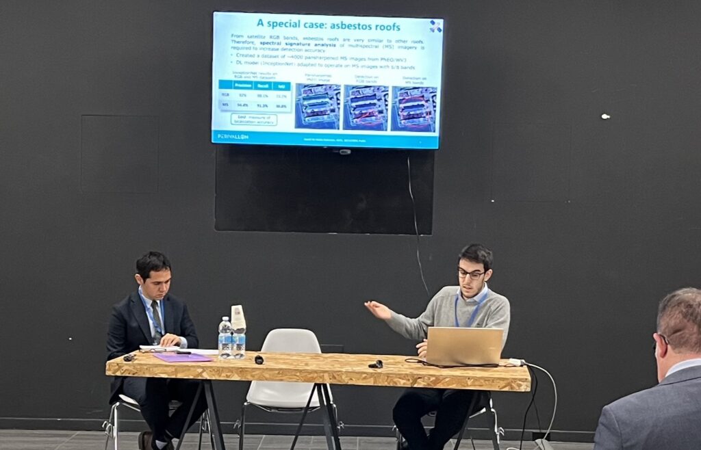
On December 10, 2024, the EMERITUS and PERIVALLON projects hosted a joint workshop at the ASITA Conference in Padova, Italy. This event, held at the Centro Culturale Altinate – San Gaetano, focused on the innovative use of geomatics to detect and combat environmental crimes. The workshop, titled “Leveraging Geomatics for Environmental Crime Detection: Innovation, Challenges, and Future Decisions”, brought together experts and stakeholders to discuss the latest advancements and challenges in this critical field.
Workshop Highlights
The workshop opened with a keynote speech by Alessandro Castagnetti from SAFE, who provided an overview of the consequences of environmental crimes at both the Italian and EU levels. He highlighted the state-of-the-art technological solutions currently in use and under development, emphasizing the role of research and innovation projects like EMERITUS and PERIVALLON.
Following the keynote, Prof. Marco Piras from Politecnico di Torino and Luca Morandini from Politecnico di Milano presented technical demonstrations of the solutions developed by the EMERITUS and PERIVALLON projects. These presentations showcased how tools such as satellite imagery, LiDar, drones, and spatial databases are being used to monitor and analyze spatial data in real-time, aiding authorities in identifying illegal activities that threaten the environment and public health.

Cristina Nardelli from the United Nations Interregional Crime and Justice Research Institute (UNICRI) delivered the second keynote speech, focusing on the legal aspects of environmental crime. She discussed the limitations and challenges of data sharing, as well as emerging grey areas in the environmental legislation that impact the full implementation of these technical solutions.
External Contributions and Future Directions
This workshop also featured presentations from external speakers who enriched the discussion with insights into open data, remote sensing, and GeoAI. Paolo Dabove, President of GFOSS.it APS, spoke about the importance of open data standards and protocols. Enrico Borgogno, President of the Italian Society of Remote Sensing (AIT), discussed the future directions of remote sensing and its potential implications for detecting environmental crimes. Caterina Balleti from the Italian Society of Photogrammetry and Topography (SIFET) highlighted innovation in GeoAI, while Nico Bonora from the Italian National Institute for Environmental Protection and Research (ISPRA) presented the GeoInt4Env project and its contributions to environmental crime identification.
Interactive Discussions and Conclusions
The event concluded with a roundtable discussion, chaired by Prof. Marco Piras and Luca Morandini, where participants, including external stakeholders and end-users, provided feedback on the presented solutions. This interactive session fostered a dynamic exchange of ideas, addressing both the technical innovation and the legal and practical challenges surrounding the detection and enforcement of environmental crimes.
This collaborative effort with our sister project EMERITUS, marks a significant step forward in our shared mission to advance the field of geospatial intelligence. Together, we are driving innovation and pushing the boundaries of environmental monitoring and crime detection.

